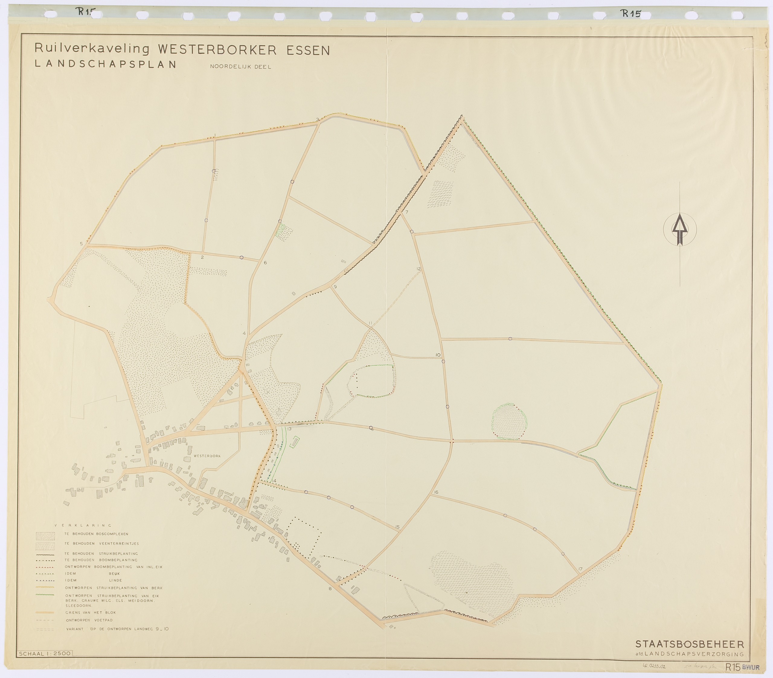
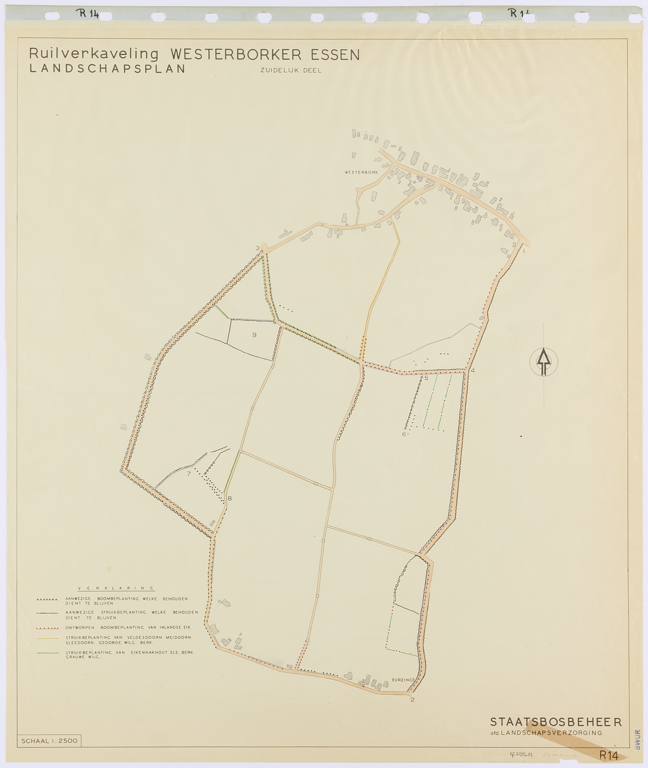
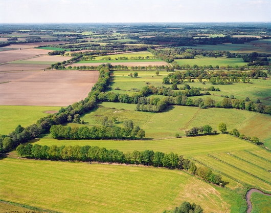
An “es” is a field complex near the village. For centuries, these fields were divided into many long narrow plots that were plowed and tilled with horses. Due to the land consolidation, the plots were widened so that they could be worked with a tractor.
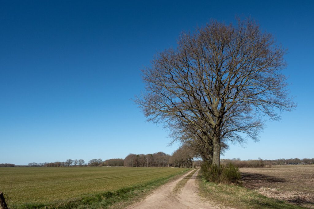
In the landscape plan, the “essen” were emphasized as large open spaces by preserving and expanding the plantations along the edges. The vegetation consisted of oak trees with shrubs underneath and was mostly along partly newly constructed roads. Efforts were made to create a continuous border as much as possible. Sometimes existing groves, alongside new groves, were included in the plan.
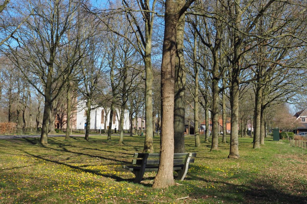
In many places in Drenthe, but also in Overijssel and Gelderland, this concept was applied for the new “esdorpen” landscape. The esdorp plantations designed by De Vroome with village greens and their ashtree borders, over a hundred in total, can be found in these provinces.
De Vroome made the villages an integral part of his landscape plans. Many green plantations date from the time of land consolidation.
Because the design concept for the esdorp was consistently applied , it is now generally assumed that esdorpen have looked like this for centuries. This ‘typical esdorp’ is seen as part of our cultural heritage, when, in fact, the origin of these villages is rather recent.
In the landscape plan of Westerborker Essen (1948), Harry de Vroome also proposes a footpath. The walk through the landscape is designed as a walk along a series of ‘scenes’ in which historical landscape elements have been included that can be experienced.
By including the walking route in the public space, De Vroome links the tradition of garden and park architecture (Springer, Hartogh Heijs van Zouteveen, Overdijkink and Pannekoek) to the design of public space in the modern new landscape.