Various disciplines of the Wageningen Agricultural College contributed to the ideas and the substantiation of ‘Landscape Plan Netherlands’. In fact, the various disciplines were integrated within this plan.
Knowledge in the fields of soil science, geology, geography, forestry, culture technology, garden art and plant systematics was used to draw up the landscape plans.
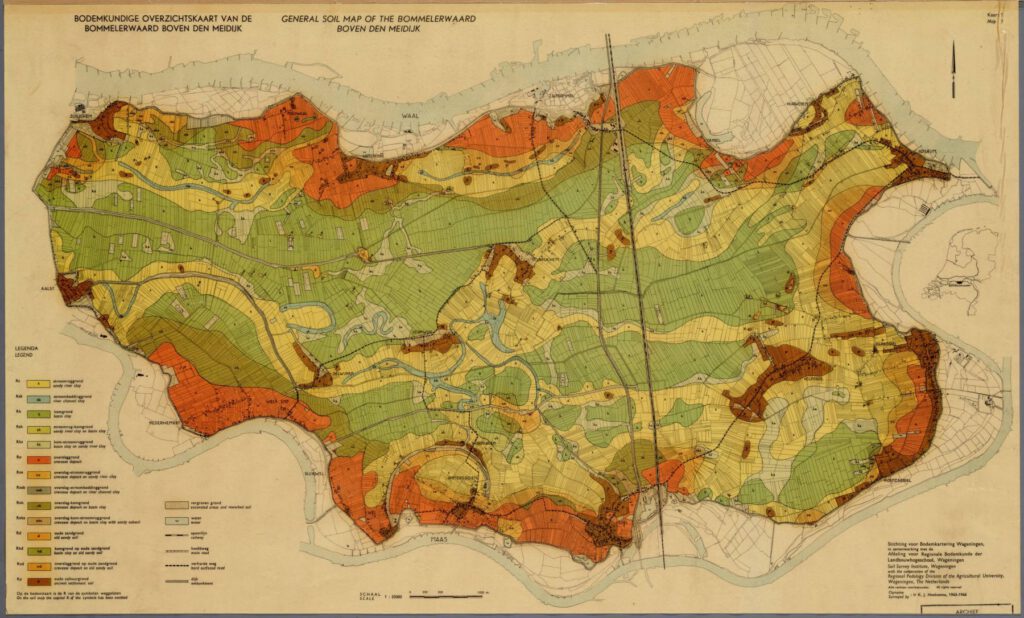
For each land consolidation area a soil survey was carried out by the Stichting voor Bodemkartering (Stiboka), now part of Wageningen Environmental Research. These soil maps and also maps on geography, groundwater, vegetation, flora and fauna, etc. can be found in the Alterra Map Collection.
Usually a scientific report on the land consolidation area was published. These reports are available at WUR – Library.
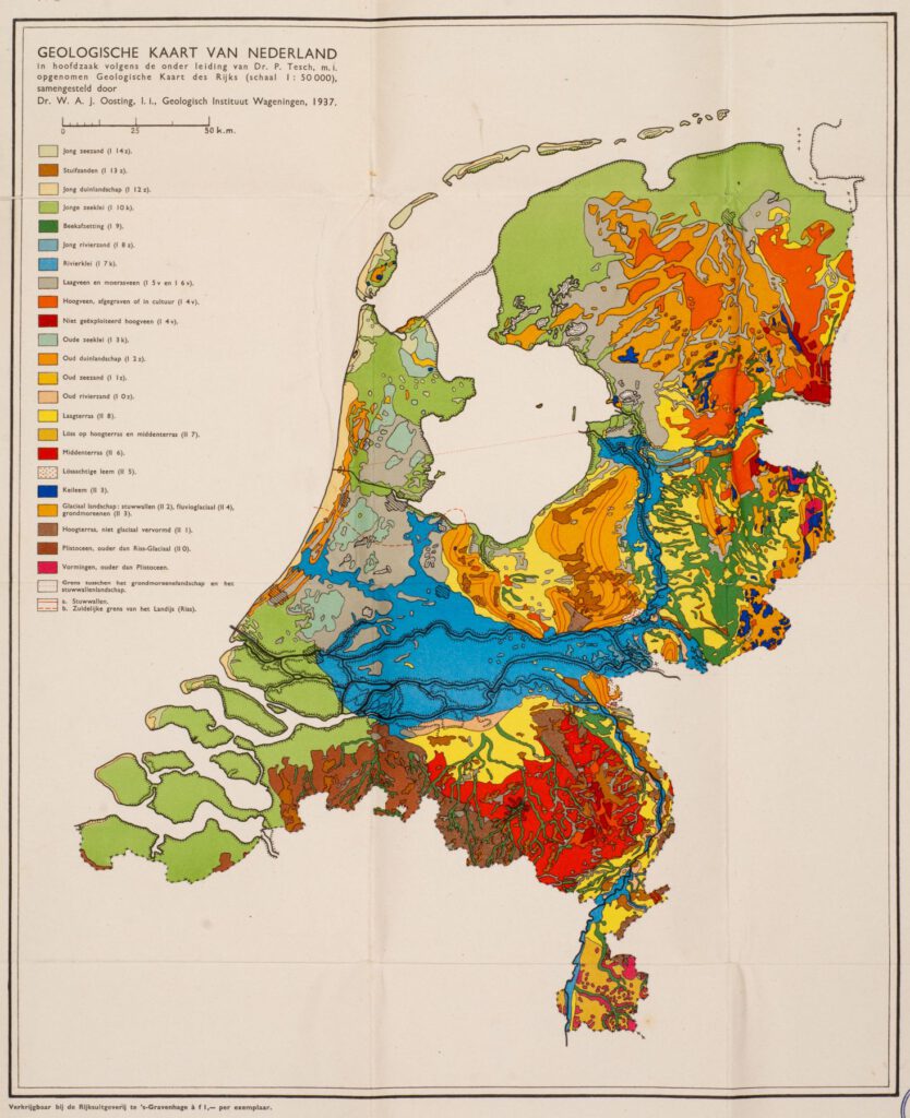
Scientists, such as Staring, Oosting, Vlam, Edelman, Venema, Bijhouwer, and alumni, such as Mesu, Van Steijn and Overdijkink, were sources of knowledge and their scientific work sources of inspiration.
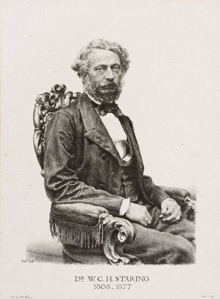
W.C.H. Staring is regarded as the founder of geology and agronomy in the Netherlands. He was also the ‘founding father’ of the Rijkslandbouwschool (National Agricultural School) in Wageningen and thus of WUR.
G.A. Overdijkink studied forestry at the Landbouwhogeschool and worked at Staatsbosbeheer from 1921 to 1962. He advocated and realised the planting of roads and canals and was the first chief of the Staatsbosbeheer departement Landschapsverzorging (Landscape Care). The designers of this department were undoubtedly heavily influenced by Overdijkink.
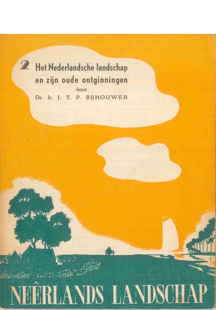
J.T.P. Bijhouwer became the first professor landscape architecture in Wageningen in 1946. In his studies on the Dutch landscape(s) he described different landscape types.