The landscapes of the Zeeland and Zuid Holland islands and West Brabant consist of a succession of small polders in a lagoon. Here, due to the tidal action, new land was silted up to become salt marshes and mud flats. When those salt marshes had silted up high enough, the sea also deposited a fertile layer of sea clay. With new dykes around these accretions, land was reclaimed in the form of fertile marine clay polders, called ‘nieuwland polders’.
For centuries, various rivers and Brabant streams flowed into the estuaries of the sea. Often the sea swept away pieces of the polders and when dykes were breached, wheels and creeks formed in the polders. If the polder dykes could be restored, those creeks would be located in the “nieuwlandpolders”. Landing and reclamation started again outside the dykes. Over several centuries, the last estuaries were dyked.
From the end of 1944, priority projects were carried out to repair the landscapes of Zeeland and West Brabant damaged in WW II.
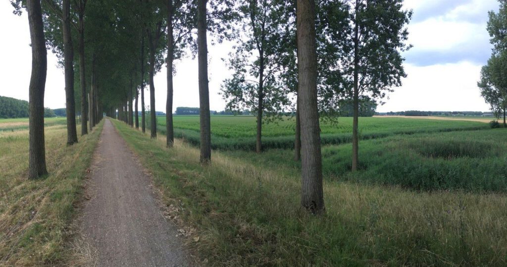
A structure plan was drawn up for the landscape of the West Brabant clay area. The old erratic polder dykes were planted with trees. In contrast, the dead straight ‘checkerboard’ roads in the polders between the arable lands were left unplanted.
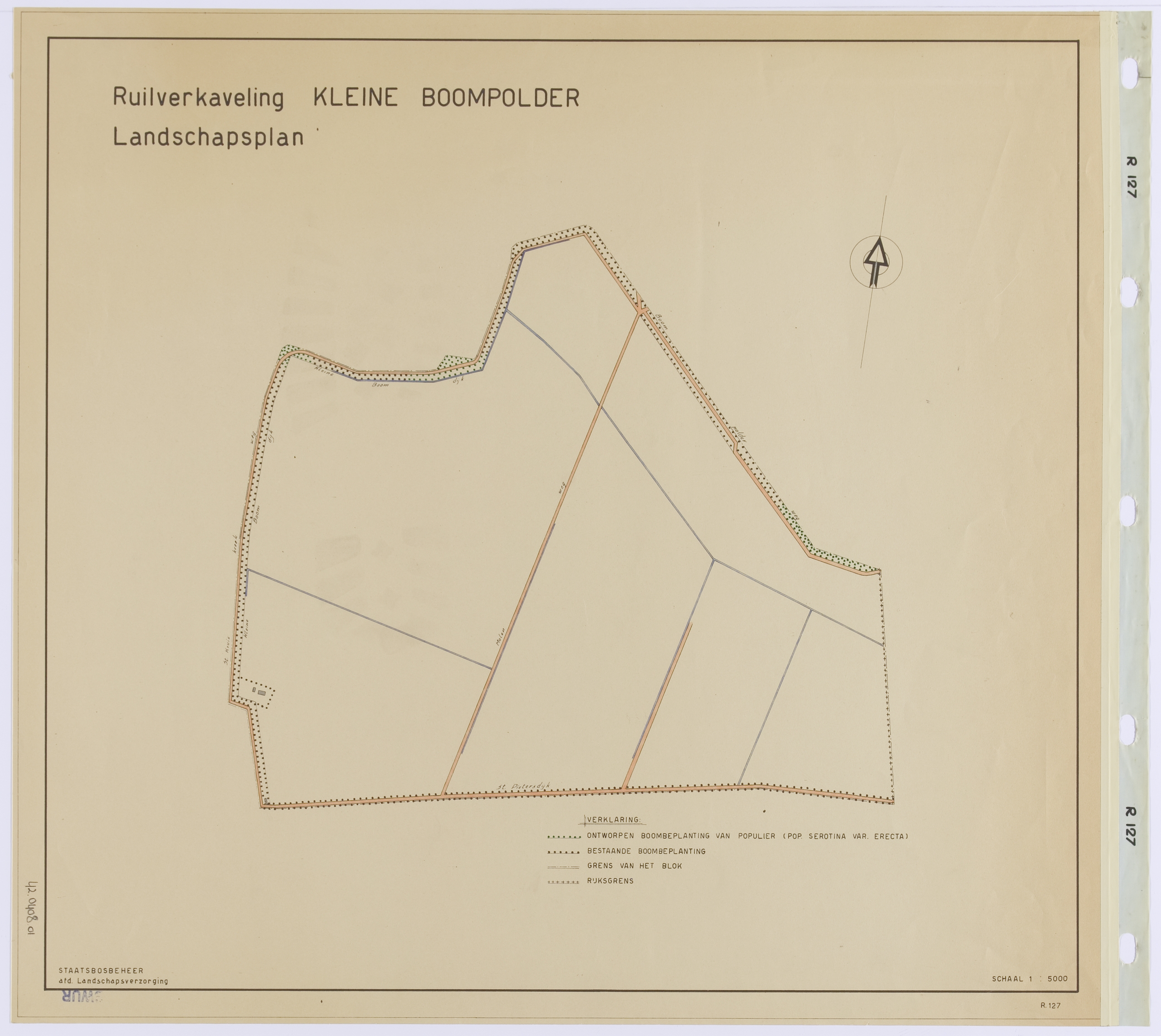
In the landscape plan Kleine Boompolder (1952), located in Zeeland, this design concept is also applied by Nico de Jonge.
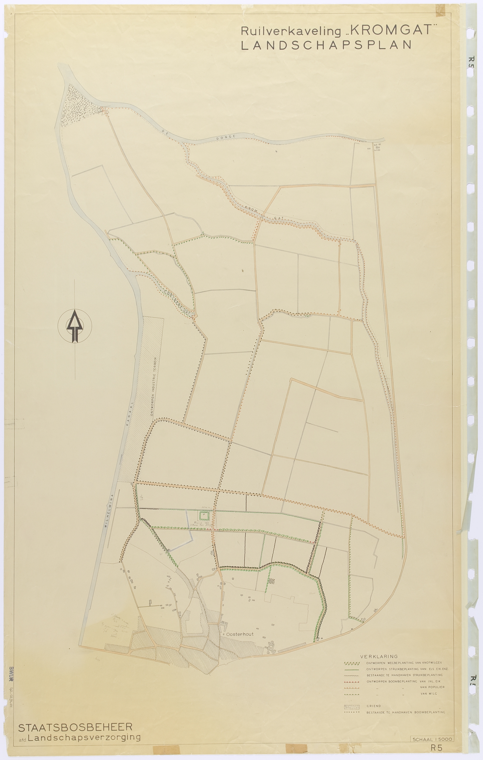
Strikingly, Benthem does not mention the creeks when describing the structure plan of West Brabant. In one of the oldest landscape plans, that for Kromgat (1948), it is precisely those creeks that play the leading role. In the Kromgat design these creeks are bordered with new plantings.
At this moment, the plantings of the dikes are again under great pressure.