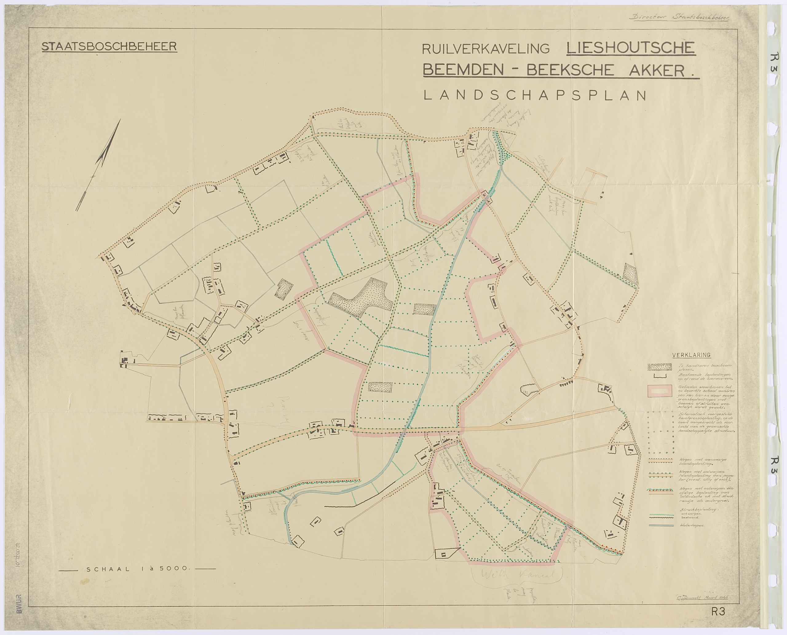
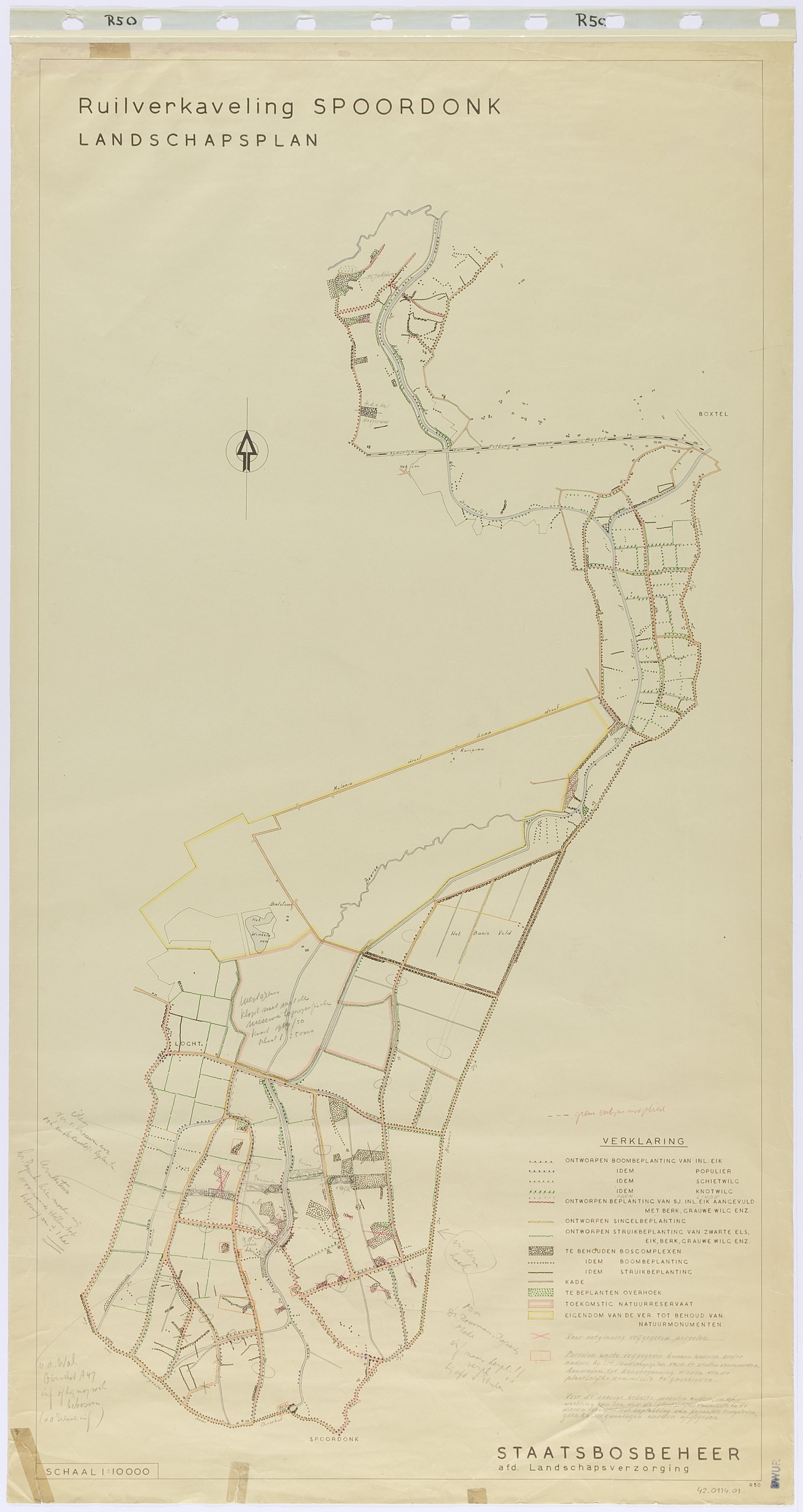
Landscape plan Lieshoutsche Beemden en Beeksche Akker, made by R.J. Benthem, from March 1946 is the oldest plan in the collection. The drawing of the plan Spoordonk, made by Benthem and H.W. de Vroome, dates from 1948.
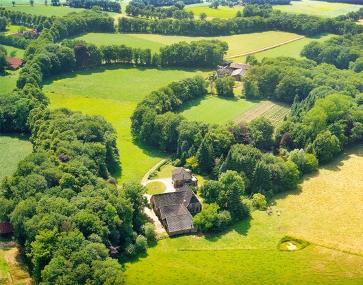
These plans are examples of land consolidation in the “oudehoevenlandschap” (old farms landscape) of Noord-Brabant with scattered farms and fields between low wet meadows and higher heaths.
The difference between village, meadow, arable land and field – each with its own type of soil – was taken as the basis for the new functional layout. In addition to new plantings, existing yard plantings, landscape elements that had to be maintained, and roads with trees and shrubs were included. Only the meadows that were planted cannot be found in the current landscape.
Along the edges of the arable lands or crop fields are “roads with designed one-sided planting of native oak with shrubbery as undergrowth.” By planting the edges of these crop fields in this way, the existing steep edges were preserved as part of the planting.
Strips of shrubbery along the streamlined waterway were proposed at intersections with roads within the land consolidation. Poplars or willows were also proposed along the bends in the stream’s route.