The moor consolidation landscape / Slagenlandschap
The Dutch term ‘slagenlandschap’ is a collective name for many landscapes with long narrow plots in former swampy transition zone between higher areas (often with sandy soils) to lower marine clay areas.
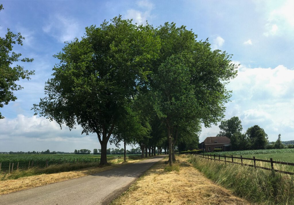
These plots were mined around the so-called road villages (in Dutch: wegdorpen). These residential ribbons can be regarded as closed edges of open areas. A main characteristic of this landscape is the variation from enclosed landscape to open landscapes.
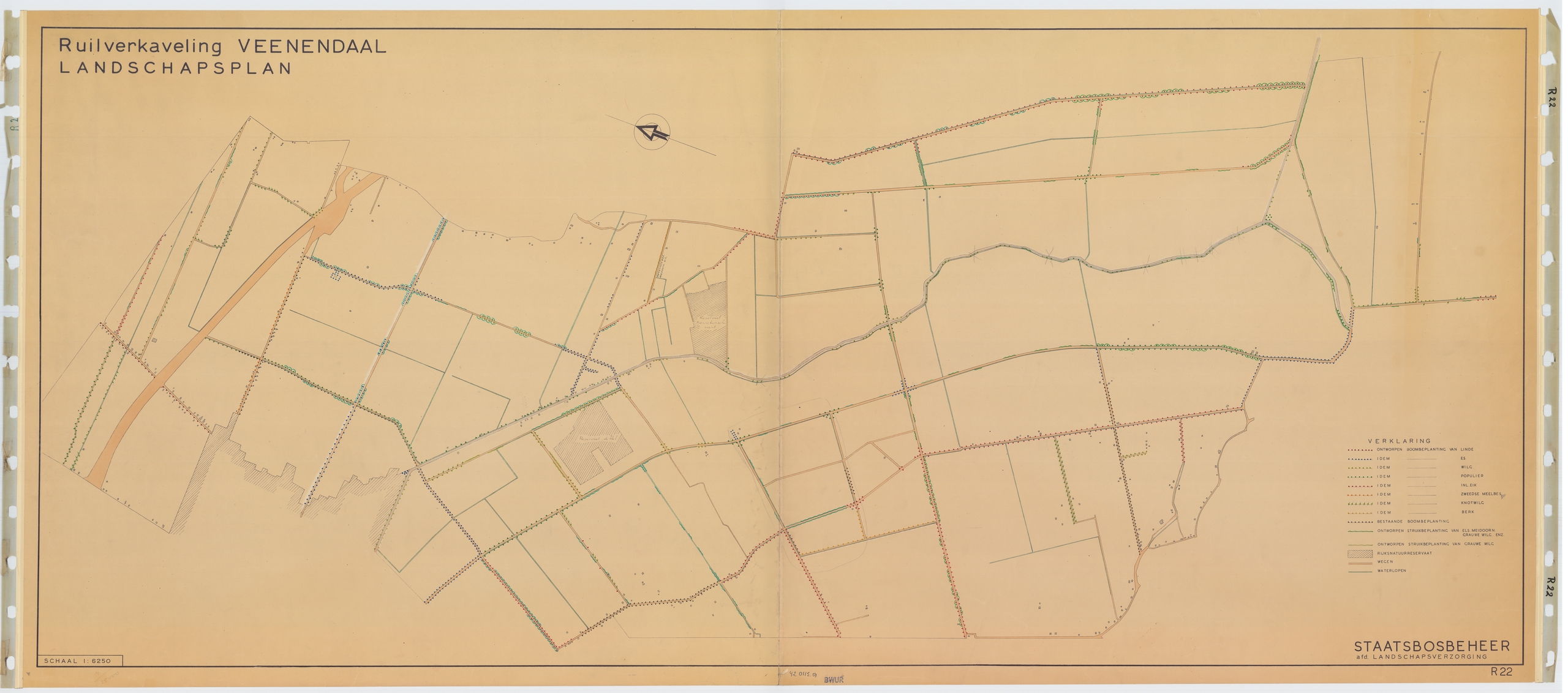
In the landscape plan for land consolidation in Veenendaal (1947), Benthem ensured that the new plantings formed spaces that were small close to the moraine and which gradually became larger towards Het Binnenveld. At the Grift you have a wide view of the Veluwerand in the east and the Heuvelrug in the west.
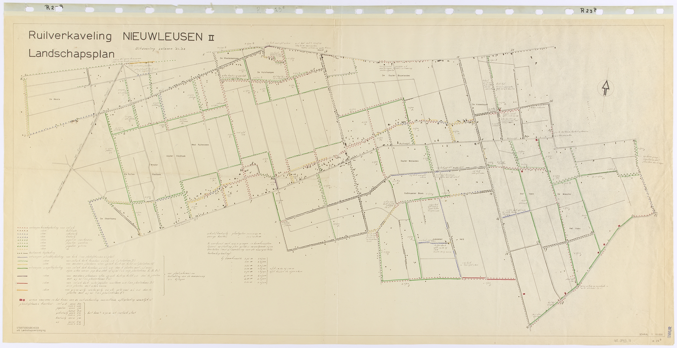
In the landscape plan for Nieuwleusen II (1949), De Vroome added another element by rows of plantings along the backs of the village ribbons and thus designing a series of ‘village courtyards’.
The design for the Eemnesser Polders, also from 1949, was created from yet another approach. The Noordoostpolder lay beyond the horizon, 50 kilometers away on the other side of the IJsselmeer.
The maker, Nico de Jonge, is looking for contrast and extremes. Not a gradual transition for him, but rather – coming from the enclosed privacy – a sudden confrontation with the horizon.
Instead of the zoned arrangement of increasingly larger spaces, in this plan a great contrast has been achieved between the closed edge of the Wakkerendijk and the enormous expanse to the east of it.
The plucked vegetation near the wheels and the dyke forms a transparent ribbon that ensures that the expanse also extends to the east and north sides of those dykes.